- ELEVATION
- 30 m public DEM
- BASE SIZE
- 150 / 220 mm
- LAYER HEIGHT
- 0.2 mm
- ROUTE FILES
- GPX · KML · TCX
HOW IT WORKS
From a place you love to a landscape on your shelf.
- 01
Find your place
Search for a mountain, valley or town, or upload a GPX, KML, TCX or GeoJSON route from your watch or app.
- 02
Check it on the map
See your line on a map, with the area that will be printed outlined. Meanwhile we already fetch the elevation and satellite data.
- 03
Choose base and size
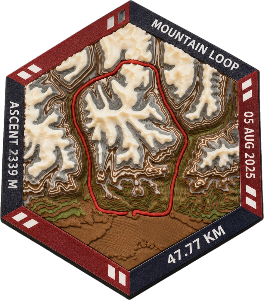
Hexagon, square or circle, 150 or 220 mm across. A live 3D preview rebuilds as you choose.
- 04
Printed and shipped
We print the terrain in layers with your route set into it, finish it and ship it — usually in 5–10 business days.
BASE & SIZE
Two choices, that is all.
Pick a base shape and a size. The landscape comes from real elevation data; a route is added when you upload one.
Hexagon
Our signature frame, made to sit flat or tile into a wall of journeys.
Square
The most landscape for the size — good for long routes and wide valleys.
Circle
Soft and centred, for loops and summits.
THE DETAIL
The ground you crossed, at hand size.
- 30 m elevation data
Built from public digital elevation models, so every ridge and valley is where it really is.
- The route is part of the terrain
Your line is set into the relief, not printed on top — you can feel it with a finger.
- 0.2 mm layers
Fine enough to read contour steps, gentle slopes and the edge of a lake.
- Your words on the frame
Add a route name, a date or a finish time to the frame lettering.
QUESTIONS
Good to know.
I do not have a GPS file. What can I do?
Search for a place in the terrain studio, choose a result and adjust the area on the map. We build a real terrain model without a route. You can also enter latitude, longitude.
Who can see my route?
Only you. Routes are private to your account; we use them only to build your piece.
How accurate is the landscape?
We use 30 m public elevation data, which keeps mountains, valleys and lakes in their real shape. Very small features, like a single building, are below that resolution.
How long does it take?
Usually 5–10 business days to print and finish, plus 5–12 business days for tracked delivery.
Every route deserves a landscape.
Upload a file, check the line on the map, and see your terrain in 3D before you order.